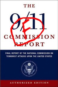
Twelve years have passed since 9/11. In these intervening years, two commissions, several reports, many books, papers, documentaries and of course History Commons have documented what happened that fateful day.
To this day, hundreds of thousands of documents have been released, which represents a massive amount of information (videos, maps, reports, testimonies, tapes data, radar data, flight data recorders, and so on) to examine. There was, therefore, a crucial need for a tool for categorizing and analyzing important data. In this particular aim, 9/11maps have collected RADES84 data, documents from 911datasets.org, photos, videos, maps and plenty of useful documents to produce an all-in-one tool called 9/11 maps allowing anyone to look at this whole documentation at one place and from a timely and comprehensive perspective. You can follow the events of the day just as if you were looking at a radar screen. But you can do many other things. 9/11maps is a Google Earth program that allows anyone to watch and search the events of 9/11.


